Scan-to-BIM
Point Cloud
From laser scan to intelligent Revit model, accurate as-existing BIM from point cloud data, delivered to your agreed LOD and accuracy tolerance. On-site scanning available in NSW, VIC, and QLD.
Reality captured.
Model delivered.
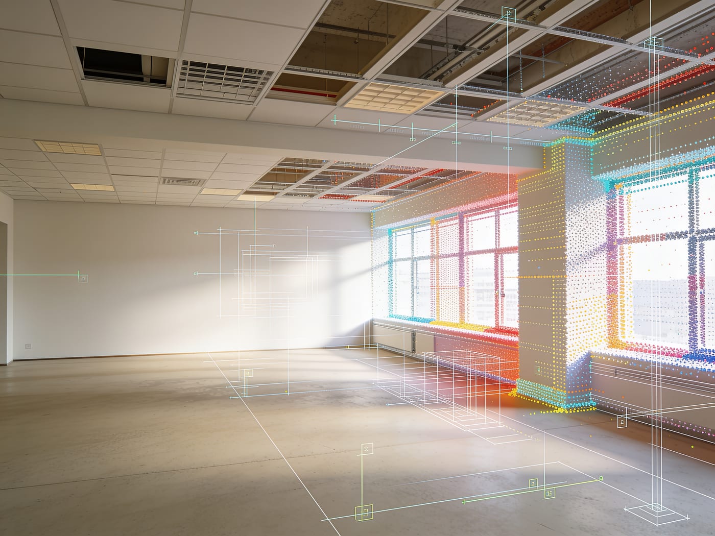
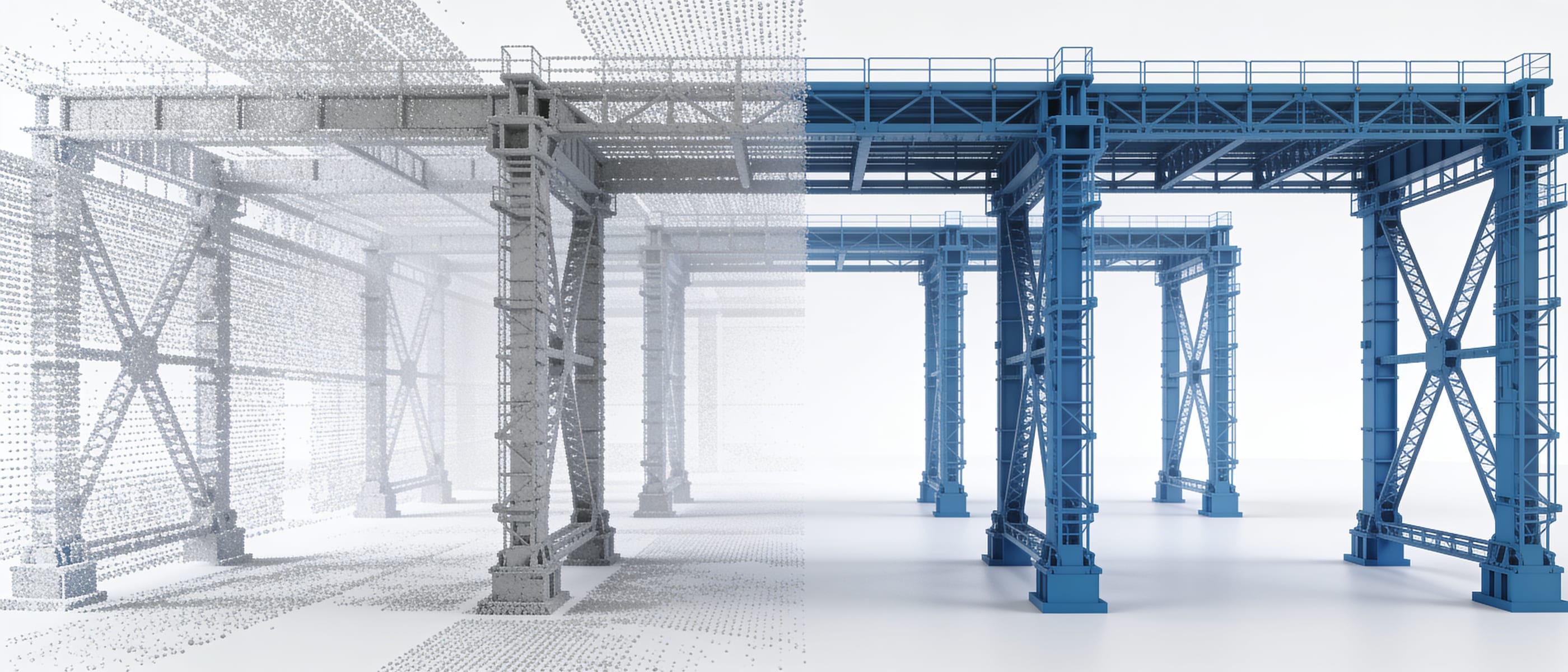
Scan-to-BIM converts raw laser scan point cloud data into intelligent, usable Revit models of existing conditions. Whether you're planning a refurbishment, extension, heritage documentation, or as-built verification, neoBIM delivers accurate BIM from your scan data with no guesswork.
We process point clouds from Leica, FARO, Trimble, and Matterport scanners using Autodesk ReCap, and deliver Revit models that meet your agreed LOD and geometric accuracy specification. On-site scanning is also available in NSW, VIC, and QLD for projects where scan data does not yet exist.
Scope of Service
Point Cloud Registration
Multi-scan registration in ReCap to produce a single, georeferenced point cloud, cleaned of noise and structured for efficient Revit modelling.
As-Existing Revit Modelling
Architectural, structural, or MEP elements extracted from the point cloud and modelled in Revit to agreed LOD and accuracy tolerance (typically ±5mm).
Multi-Discipline Capture
Architectural structure, MEP services, and site elements captured within a single modelling effort, delivered as separate discipline files or a combined model.
On-Site Laser Scanning
neoBIM offers on-site laser scanning in NSW, Victoria, and Queensland. We attend site, capture data, register the cloud, and deliver the Revit model, one point of contact throughout.
IFC & DWG Deliverables
IFC export for coordination, DWG/PDF 2D documentation from model views, and ReCap point cloud file packaged with the Revit model for client retention.
Accuracy Documentation
Model accuracy statement confirming geometric tolerance achieved, essential for heritage, infrastructure, and insurance documentation projects.
Our Process
Scope & Accuracy Confirmation
We confirm the project scope, which areas to model, what disciplines to capture, the target LOD, and the accuracy requirement. This becomes the basis of the agreed deliverable specification before any scanning or modelling begins.
Scan Data Receipt or Site Capture
You provide existing scan data (E57, RCP, PTX), or we attend site to capture it ourselves. Site scanning includes scan-to-scan registration and initial QA before leaving site.
Point Cloud Processing
Scans are registered, cleaned, and structured in Autodesk ReCap. A georeferenced RCP file is produced and linked into Revit, forming the reference layer that all modelling is checked against.
As-Existing Revit Modelling
Model elements are created from the point cloud, walls, slabs, columns, beams, services, and site features, with regular WIP reviews against the cloud to confirm accuracy.
QA, Documentation & Delivery
Model QA checks geometric accuracy against the cloud. Final deliverable package includes RVT, IFC, ReCap file, 2D documentation, and accuracy statement.
Deliverables
Ready to convert
your scan data?
Share your point cloud files or tell us about your building and we'll prepare a tailored Scan-to-BIM proposal within one business day. On-site scanning available in NSW, VIC, and QLD.